Defining watercourse of the South Omo cultural and ecological landscape
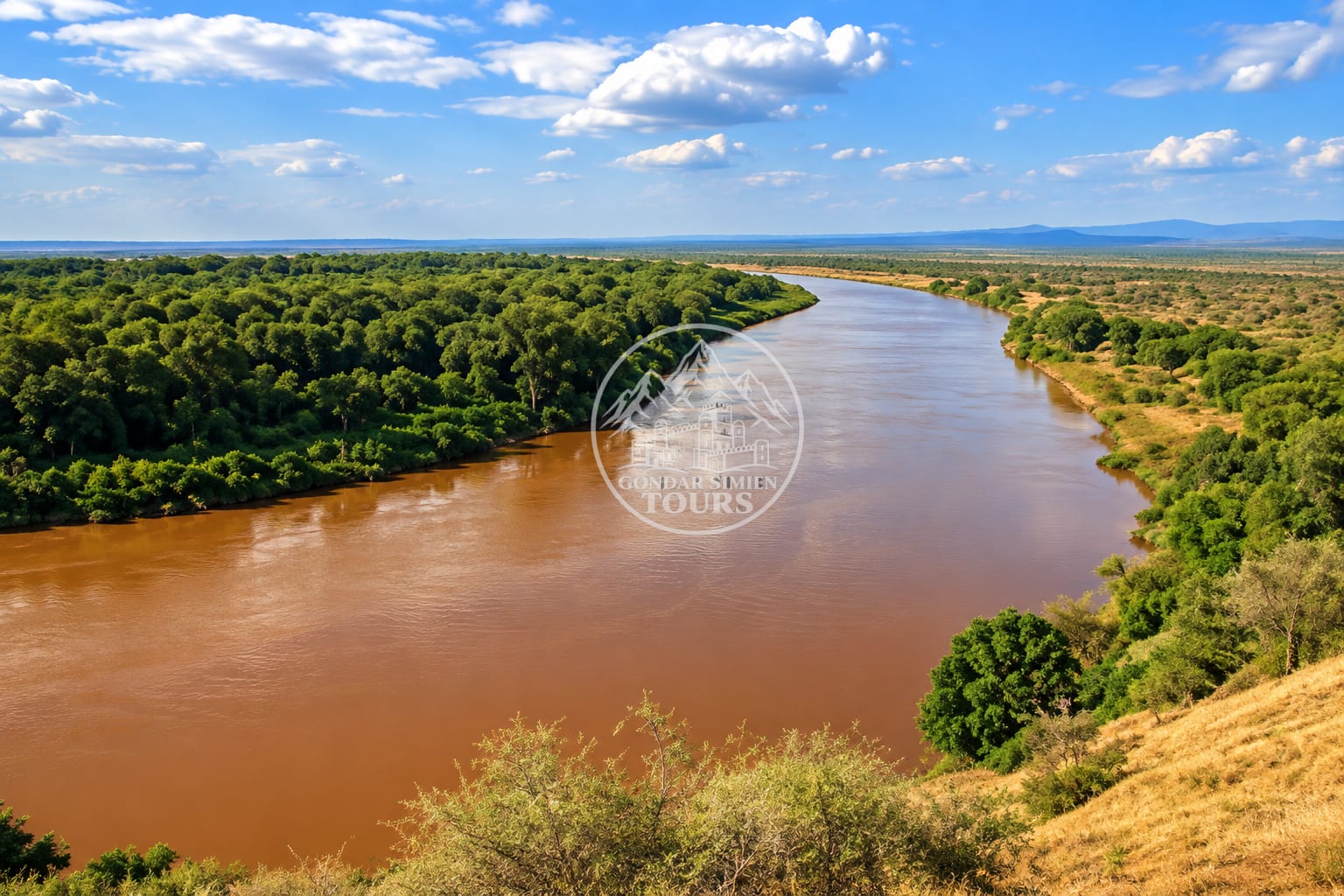
Southern Ethiopia
Omo River
Southern Ethiopia; corridor linking Karo, Omorate and wider South Omo communities
About
Omo River
The Omo River has shaped settlement, movement, farming and pastoral life across southern Ethiopia for generations. On the signature journey it appears both as viewpoint landscape (from Karo-area approaches) and as a crossing zone near Omorate where boat or local transport may be required and operating.
Understanding the river — seasonal levels, access, and how communities live with it — matters more than treating it as a scenic extra. River levels and crossing operations affect what is possible; plans stay flexible.
Highlights
Highlights
Viewpoints from Karo-area approaches where access allows
Crossing logistics near Omorate when required and operating
Seasonal variation in level and access
Narrative centre of late southern journey days
Things to do
Things to do
- Visit viewpoints overlooking the river when access allows
- Use boat/local transport for crossings where required and operating
- Interpret river livelihoods with local guides
- Adjust plans when levels or operations change
- Photograph landscapes respectfully; ask before photographing people